MFTIC wrote:
:bigsmile:
If you look at my picture of the washout...it is actually looking back the way I came. You can barely see the barrier at the end that I went around. I honestly can not remember whether it was large rocks or a jersey barrier strung across the road. If I was to turn around there is no road.
Ah. Ok.
There was a time when there was only rocks there. They did eventually put in a line of jersey barriers that stretched from in the trees, across the road, and out into the river.
You could climb over it or lift a bike over it. But there's no way a vehicle could have driven through.
And now I know why that pic of yours is so familiar. That's as far as I walked, myself. And when I turned back and saw what you see in the pic, for some reason it looked more treacherous than when I had walked to that spot. Kind of a stark, impression making scene, if you stood there in real life.
The scenery was... Beautiful. But the feeling was... Treacherous.
MFTIC wrote:
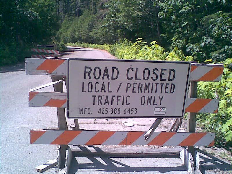
*the picture of the sign is up Beckler Road
That's good to know. I have no problem driving past those signs. I just don't open any actual gates or anything like that.
If there are people that live out there, then if you get stopped all you need to say is that you were looking for someone that, the last you knew, lived out there... And the worst that will happen is that you'll be told they aren't there, and you have to leave.
MFTIC wrote:
Anyway...looking forward to your finds. I know there are places at dead ends where it would be fun to shoot clays off of the cliffs.
Me too !!!
I'm not making the trip, FMJ, is. I won't have the time or resources to make that trip myself, for a while.
Would be kind of cool to see a couple more honeyholes marked on the maps, though.